Synopsis: This article covers the major projects undertaken by Bangalore Development Authority (BDA) and the National Highways Authority of India (NHAI) in and around Bengaluru. This contains details regarding the site of the projects; connectivity benefits; costs and details.
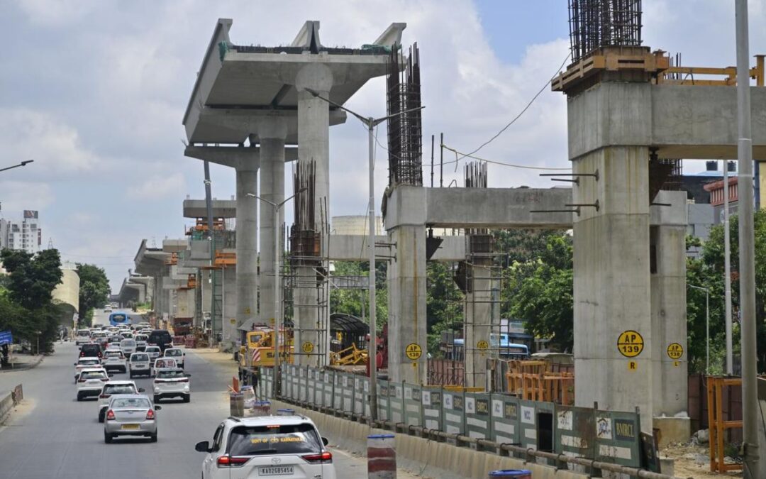
With Bengaluru’s growth, key infrastructure initiatives are underway to alleviate traffic congestion and enhance connectivity within and around the city. The projects led by the Bangalore Development Authority (BDA) and the National Highways Authority of India (NHAI) include some underpasses, rings and highway expansions that help people and goods travel better, faster and more efficiently.
Projects under Bengaluru Development Authority (BDA)
1. Kanteerava Studio Junction Underpass
- Location: Kanteerava Studio Junction on Bengaluru’s Outer Ring Road (ORR).
- Developed by: The Bangalore Development Authority (BDA).
- Connectivity:
- It connects Peenya with Kanteerava Studio Road and Nandini Layout. Improves traffic flow along the ORR corridor.
- Cost
- Initial project cost (2011): ₹47.4 crore.
- Total expenditure has risen to nearly ₹100 crore.
- Expected Completion
- BDA estimates completion by June 2026.
- Importance
- Reduces congestion at Kanteerava Studio Junction.
- Improves connectivity between Peenya and western Bengaluru.
- Supports smoother movement of commuter and industrial traffic.
2. Bengaluru Business Corridor (BBC)
- Formerly known as the Peripheral Ring Road (PRR).
- Developed by: The Bangalore Development Authority (BDA).
- Planned as a high-speed orbital corridor around northern and eastern Bengaluru.
- Length
- Total length: 73.04 km. Planned as an 8-lane expressway. Features a 100-metre Right-of-Way (RoW).
- Route & Connectivity
- It starts at Madavara on Tumakuru Road (NH-4). Ends at Konappana Agrahara on Hosur Road. Connects with NICE Road at both ends. Creates a near-complete ring around Bengaluru.
- Major Interchanges: Madavara, Madanayakanahalli, Hesaraghatta, Bellary Road., Doddaballapur Road, Hennur Road, Old Madras Road, Channasandra, Whitefield, Sarjapur Road, Hosur Road.
- Railway Crossings
- Includes 5 railway overbridges (ROBs) and underbridges (RUBs). Designed to ensure uninterrupted traffic movement across rail lines.
- Cost
- Total project cost: Approximately ₹26,786 crore to ₹27,000 crore.
- Land acquisition: ₹20,511 crore.
- Civil works: ₹7,000-8,000 crore.
- Rehabilitation and resettlement: ₹750 crore.
- Environmental measures: ₹65 crore.
- Land Requirement
- Requires around 2,557 acres of land.
- Timeline
- Road construction targeted within 30-36 months from commencement. Intelligent Transport Systems (ITS) to be implemented over 18 months.
Projects under National Highway Authority of India(NHAI)
1. Bengaluru Satellite Town Ring Road (STRR)
- Developed by: National Highways Authority of India (NHAI) under Bharatmala Pariyojana.
- Designed as a 4-to-6-lane access-controlled expressway and a speed of 100 km/h.
- Length
- Total length: Approximately 280.8 km to 282.3 km. Around 243 km in Karnataka. Around 45 km in Tamil Nadu.
- Cost: Total project cost: Approximately ₹17,000 crore. Developed under the Hybrid Annuity Model (HAM).
- Connectivity
- Connects 12 satellite towns around Bengaluru.
- Links Dobbaspet, Doddaballapur, Devanahalli, Sulibele, Hoskote, Sarjapur, Attibele, Anekal, Tattekere, Kanakapura, Ramanagara and Magadi.
- It connects major highways including NH-44, NH-48, NH-75 and NH-209.
- Phase 1 (Operational)
- Covers Dobbaspet–Doddaballapur and Doddaballapur–Hoskote stretches.
- Total length: Around 80 km.
- Project cost: Over ₹2,750 crore.
- Fully operational from March 2024.
- Hoskote–Tamil Nadu Border Section
- Length: 20.9 km. More than 20 km were completed. Only about 650 metres remain. Opening targeted in 2026, subject to railway approvals for a rail overbridge (ROB).
- Southern and Western Sections
- Covers the remaining southern and western arc of the ring road.
- Total length: 144.25 km.
- Upgraded from 4 lanes to 6 lanes.
- Revised project cost: ₹4,921.57 crore.
- Expected completion is unlikely before 2029.
- Bannerghatta National Park Section
- Passes through the eco-sensitive zone of Bannerghatta National Park.
- Features a 3.85-km elevated viaduct through the forest stretch.
2. Neelmangala–Tumkur Highway Expansion Project
- Developed by H.G. Infra Engineering Ltd and executed under NHAI’s Bharatmala Pariyojana programme.
- Location: Covers the Neelmangala–Tumkur section of NH-48, Karnataka. Includes the Tumkur Bypass stretch.
- Length
- Total project length: 44.73 km. Extends from 29.435Km to 74.168Km
- Cost: Project cost: ₹844.11 crore.
- Timeline: Appointment date: August 25, 2022; currently under construction.
- Current Status: 54.40% of work completed as of December 2025.
3. Chandapura–Attibele NH-44 Underpass Project
- Implemented by the National Highways Authority of India (NHAI).
- Focused on improving safety and reducing congestion on Hosur Road (NH-44).
- Location: Chandapura–Attibele stretch of NH-44.
- Traffic impact extends towards Bommasandra and Attibele Toll Plaza.
- Connectivity
- Serves as a major gateway between Bengaluru and Hosur.
- Supports traffic moving between Karnataka, Tamil Nadu and Kerala.
- Provides access to Electronic City, Jigani and surrounding industrial and logistics hubs.
Conclusion
These projects will be instrumental in alleviating congestion, enhancing connectivity, and contributing to the sustainable development of Bengaluru’s future. They will be faster, safer and more efficient once completed, helping people to travel around the city and its environs.
Written By Boyapati Sai Jasmitha